Chipping Campden
Introduction
The photograph on this page of Chipping Campden by Nigel Mykura as part of the Geograph project.
The Geograph project started in 2005 with the aim of publishing, organising and preserving representative images for every square kilometre of Great Britain, Ireland and the Isle of Man.

There are currently over 7.5m images from over 14,400 individuals and you can help contribute to the project by visiting https://www.geograph.org.uk
Chipping Campden
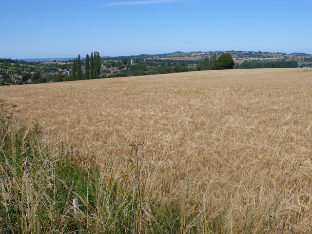
Image: © Nigel Mykura Taken: 24 Jul 2011
View across a ripening field of wheat just off Conduit Hill. The town can be seen in the background.
Images are licensed for reuse under creativecommons.org/licenses/by-sa/2.0
Image Location
Latitude
52.044701
Longitude
-1.78591