Footpath and cycle route south of Pontllanfraith
Introduction
The photograph on this page of Footpath and cycle route south of Pontllanfraith by Jaggery as part of the Geograph project.
The Geograph project started in 2005 with the aim of publishing, organising and preserving representative images for every square kilometre of Great Britain, Ireland and the Isle of Man.

There are currently over 7.5m images from over 14,400 individuals and you can help contribute to the project by visiting https://www.geograph.org.uk
Footpath and cycle route south of Pontllanfraith
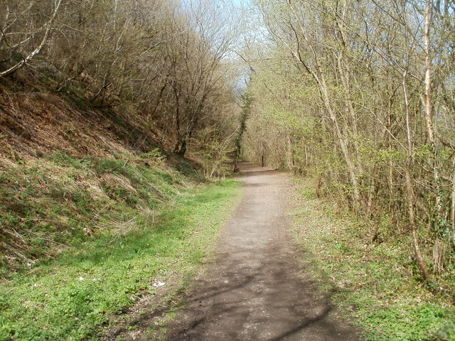
Image: © Jaggery Taken: 7 Apr 2011
The path was formery a railway from Pontllanfraith to Ynysddu and beyond. A bridge http://www.geograph.org.uk/photo/2839694 is behind the camera.
Images are licensed for reuse under creativecommons.org/licenses/by-sa/2.0
Image Location
Latitude
51.640572
Longitude
-3.18926