Rendered house at Willington Down Farm
Introduction
The photograph on this page of Rendered house at Willington Down Farm by Roger Templeman as part of the Geograph project.
The Geograph project started in 2005 with the aim of publishing, organising and preserving representative images for every square kilometre of Great Britain, Ireland and the Isle of Man.

There are currently over 7.5m images from over 14,400 individuals and you can help contribute to the project by visiting https://www.geograph.org.uk
Rendered house at Willington Down Farm
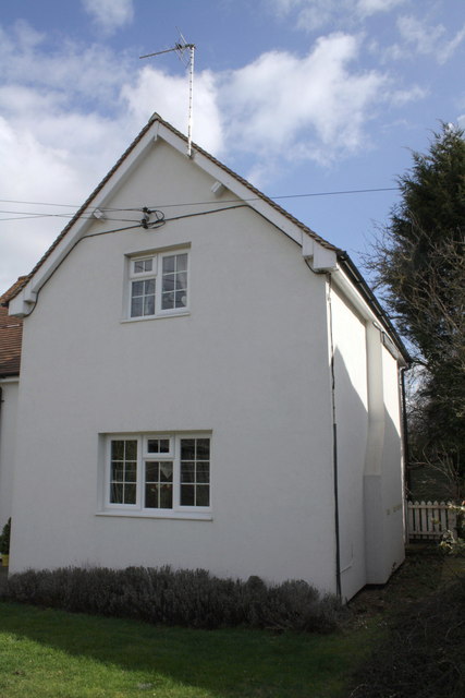
Image: © Roger Templeman Taken: 8 Mar 2012
Before the render was applied, the house had a visible Ordnance Survey cut mark benchmark (described on the Bench Mark Database at http://www.bench-marks.org.uk/bm23783 ) on its right front corner
Images are licensed for reuse under creativecommons.org/licenses/by-sa/2.0
Image Location
Latitude
51.623326
Longitude
-1.219763