Farmland at Northtown, Burray, Orkney Islands
Introduction
The photograph on this page of Farmland at Northtown, Burray, Orkney Islands by Robin Drayton as part of the Geograph project.
The Geograph project started in 2005 with the aim of publishing, organising and preserving representative images for every square kilometre of Great Britain, Ireland and the Isle of Man.

There are currently over 7.5m images from over 14,400 individuals and you can help contribute to the project by visiting https://www.geograph.org.uk
Farmland at Northtown, Burray, Orkney Islands
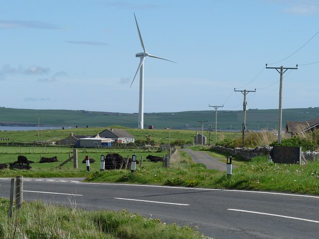
Image: © Robin Drayton Taken: 12 May 2011
Showing the junction of a minor road with the A961. The wind turbine is at Northfield http://www.geograph.org.uk/photo/2631610 .
Images are licensed for reuse under creativecommons.org/licenses/by-sa/2.0
Image Location
Latitude
58.86442
Longitude
-2.905877