Benchmark on gate post High Hoyland
Introduction
The photograph on this page of Benchmark on gate post High Hoyland by Alan Clark as part of the Geograph project.
The Geograph project started in 2005 with the aim of publishing, organising and preserving representative images for every square kilometre of Great Britain, Ireland and the Isle of Man.

There are currently over 7.5m images from over 14,400 individuals and you can help contribute to the project by visiting https://www.geograph.org.uk
Benchmark on gate post High Hoyland
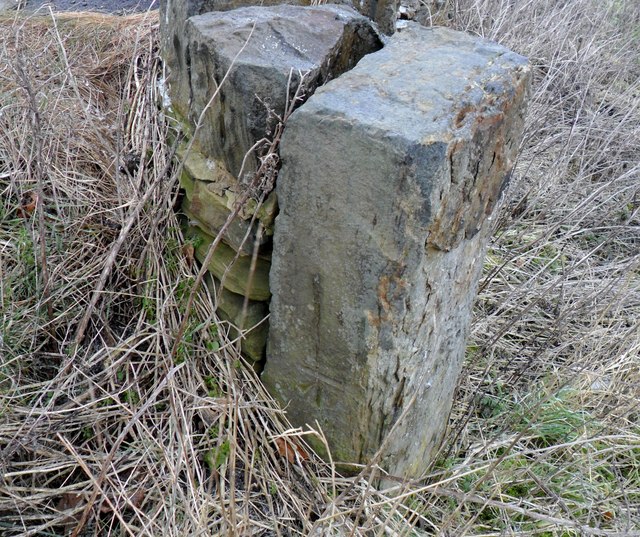
Image: © Alan Clark Taken: 10 Feb 2012
CUT MARK: South East side Upper Field Lane High Hoyland
Images are licensed for reuse under creativecommons.org/licenses/by-sa/2.0
Image Location
Latitude
53.588113
Longitude
-1.584835