Lane to Tyn-y-graig, Cwmfelinfach
Introduction
The photograph on this page of Lane to Tyn-y-graig, Cwmfelinfach by Jaggery as part of the Geograph project.
The Geograph project started in 2005 with the aim of publishing, organising and preserving representative images for every square kilometre of Great Britain, Ireland and the Isle of Man.

There are currently over 7.5m images from over 14,400 individuals and you can help contribute to the project by visiting https://www.geograph.org.uk
Lane to Tyn-y-graig, Cwmfelinfach
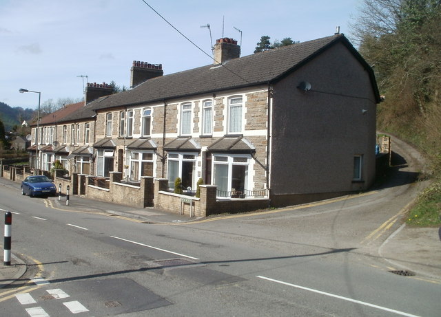
Image: © Jaggery Taken: 7 Apr 2011
Viewed from Melin Street across New Road (B4251). An unnamed lane passing the right side of the row of houses heads towards a hillside house named Tyn-y-graig. http://www.geograph.org.uk/photo/2835451
Images are licensed for reuse under creativecommons.org/licenses/by-sa/2.0
Image Location
Latitude
51.617316
Longitude
-3.177097