Footpath to Knowle End Wood
Introduction
The photograph on this page of Footpath to Knowle End Wood by David P Howard as part of the Geograph project.
The Geograph project started in 2005 with the aim of publishing, organising and preserving representative images for every square kilometre of Great Britain, Ireland and the Isle of Man.

There are currently over 7.5m images from over 14,400 individuals and you can help contribute to the project by visiting https://www.geograph.org.uk
Footpath to Knowle End Wood
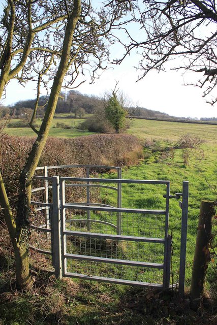
Image: © David P Howard Taken: 6 Mar 2012
The footpath leaves the B4086 and heads uphill towards the wood.
Images are licensed for reuse under creativecommons.org/licenses/by-sa/2.0
Image Location
Latitude
52.139527
Longitude
-1.446466