Timbered houses in Lindfield
Introduction
The photograph on this page of Timbered houses in Lindfield by Les Whitcomb as part of the Geograph project.
The Geograph project started in 2005 with the aim of publishing, organising and preserving representative images for every square kilometre of Great Britain, Ireland and the Isle of Man.

There are currently over 7.5m images from over 14,400 individuals and you can help contribute to the project by visiting https://www.geograph.org.uk
Timbered houses in Lindfield
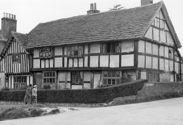
Image: © Les Whitcomb Taken: 20 May 1951
These are believed to be slated timbered houses, on corner of Hickman's Lane
Images are licensed for reuse under creativecommons.org/licenses/by-sa/2.0
Image Location
Latitude
51.014006
Longitude
-0.080716