Bromley Road - 1968 Flood
Introduction
The photograph on this page of Bromley Road - 1968 Flood by David Wright as part of the Geograph project.
The Geograph project started in 2005 with the aim of publishing, organising and preserving representative images for every square kilometre of Great Britain, Ireland and the Isle of Man.

There are currently over 7.5m images from over 14,400 individuals and you can help contribute to the project by visiting https://www.geograph.org.uk
Bromley Road - 1968 Flood
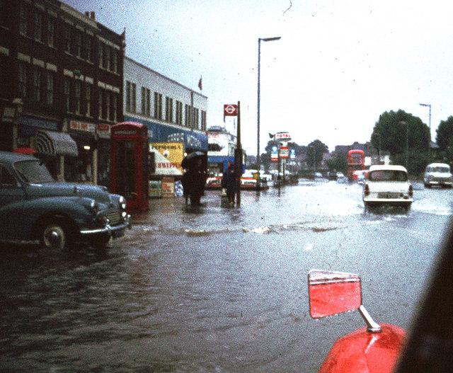
Image: © David Wright Taken: 16 Sep 1968
Picture looking towards Catford on 16th September 1968 in Bromley Road near Aitken Road junction. Photo taken from a moving car in conditions of heavy rain and scanned from an old slide. Shows the extent of flooding from the nearby Ravensbourne river. See also Image
Images are licensed for reuse under creativecommons.org/licenses/by-sa/2.0
Image Location
Latitude
51.437469
Longitude
-0.020285