St Cyr's Church, Stinchcombe
Introduction
The photograph on this page of St Cyr's Church, Stinchcombe by David Dixon as part of the Geograph project.
The Geograph project started in 2005 with the aim of publishing, organising and preserving representative images for every square kilometre of Great Britain, Ireland and the Isle of Man.

There are currently over 7.5m images from over 14,400 individuals and you can help contribute to the project by visiting https://www.geograph.org.uk
St Cyr's Church, Stinchcombe
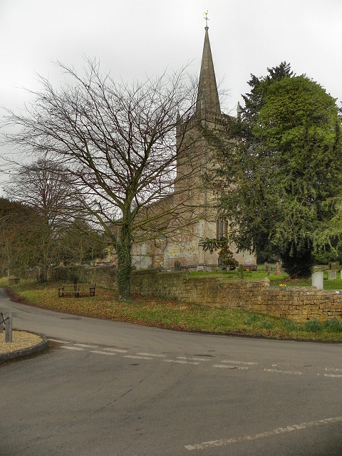
Image: © David Dixon Taken: 29 Feb 2012
Parts of St Cyr's church date from the fifteenth century but it was mostly rebuilt 1854-55. It is a Grade II* listed building (http://www.britishlistedbuildings.co.uk/en-131537-church-of-st-cyr-stinchcombe - British Listed Buildings)
Images are licensed for reuse under creativecommons.org/licenses/by-sa/2.0
Image Location
Latitude
51.687838
Longitude
-2.392841