Construction of Oak Grove houses, Cwmfelinfach
Introduction
The photograph on this page of Construction of Oak Grove houses, Cwmfelinfach by Jaggery as part of the Geograph project.
The Geograph project started in 2005 with the aim of publishing, organising and preserving representative images for every square kilometre of Great Britain, Ireland and the Isle of Man.

There are currently over 7.5m images from over 14,400 individuals and you can help contribute to the project by visiting https://www.geograph.org.uk
Construction of Oak Grove houses, Cwmfelinfach
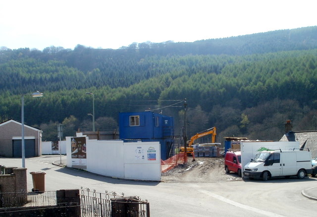
Image: © Jaggery Taken: 7 Apr 2011
This April 2011 view from the corner of Stanley Street shows work in progress on the building of new houses at a development named Oak Grove.
Images are licensed for reuse under creativecommons.org/licenses/by-sa/2.0
Image Location
Latitude
51.616388
Longitude
-3.179962