Weston Fields Farm
Introduction
The photograph on this page of Weston Fields Farm by Nigel Mykura as part of the Geograph project.
The Geograph project started in 2005 with the aim of publishing, organising and preserving representative images for every square kilometre of Great Britain, Ireland and the Isle of Man.

There are currently over 7.5m images from over 14,400 individuals and you can help contribute to the project by visiting https://www.geograph.org.uk
Weston Fields Farm
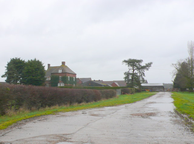
Image: © Nigel Mykura Taken: 4 Mar 2012
This farm unlike many in the area which have been converted to residential use is still a large working farm.
Images are licensed for reuse under creativecommons.org/licenses/by-sa/2.0
Image Location
Latitude
52.333446
Longitude
-1.465036