Quarrington Hill
Introduction
The photograph on this page of Quarrington Hill by Richard Croft as part of the Geograph project.
The Geograph project started in 2005 with the aim of publishing, organising and preserving representative images for every square kilometre of Great Britain, Ireland and the Isle of Man.

There are currently over 7.5m images from over 14,400 individuals and you can help contribute to the project by visiting https://www.geograph.org.uk
Quarrington Hill
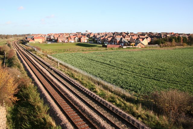
Image: © Richard Croft Taken: 23 Nov 2006
Quarrington Hill housing development from the Sleaford bypass bridge http://www.geograph.org.uk/photo/122470
Images are licensed for reuse under creativecommons.org/licenses/by-sa/2.0
Image Location
Latitude
52.993789
Longitude
-0.432609