(Very) Restricted Byway
Introduction
The photograph on this page of (Very) Restricted Byway by Des Blenkinsopp as part of the Geograph project.
The Geograph project started in 2005 with the aim of publishing, organising and preserving representative images for every square kilometre of Great Britain, Ireland and the Isle of Man.

There are currently over 7.5m images from over 14,400 individuals and you can help contribute to the project by visiting https://www.geograph.org.uk
(Very) Restricted Byway
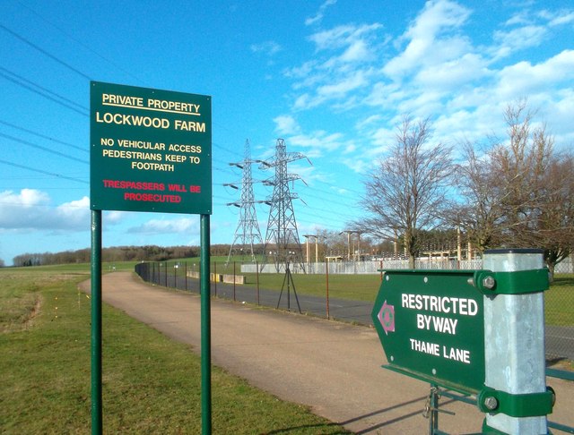
Image: © Des Blenkinsopp Taken: 3 Mar 2012
We don't like strangers round these parts...... However...the perimeter track around Culham Laboratory is a wide, well surfaced and mud free public bridleway.
Images are licensed for reuse under creativecommons.org/licenses/by-sa/2.0
Image Location


Leaflet Map data © OpenStreetMap
Latitude
51.662005
Longitude
-1.235725