Great Field
Introduction
The photograph on this page of Great Field by Simon Carey as part of the Geograph project.
The Geograph project started in 2005 with the aim of publishing, organising and preserving representative images for every square kilometre of Great Britain, Ireland and the Isle of Man.

There are currently over 7.5m images from over 14,400 individuals and you can help contribute to the project by visiting https://www.geograph.org.uk
Great Field
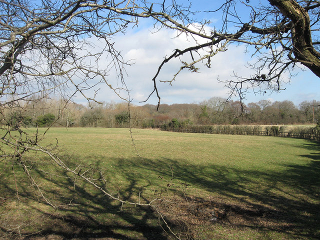
Image: © Simon Carey Taken: 26 Feb 2012
The name of the field according to Chiddingly's 1839 tithe map that was formed when the old Dicker Common was enclosed in 1813. The hedge on the right follows the line of a small stream which effectively splits the old field in two.
Images are licensed for reuse under creativecommons.org/licenses/by-sa/2.0
Image Location
Latitude
50.888456
Longitude
0.194936