HorseWorld fields
Introduction
The photograph on this page of HorseWorld fields by Neil Owen as part of the Geograph project.
The Geograph project started in 2005 with the aim of publishing, organising and preserving representative images for every square kilometre of Great Britain, Ireland and the Isle of Man.

There are currently over 7.5m images from over 14,400 individuals and you can help contribute to the project by visiting https://www.geograph.org.uk
HorseWorld fields
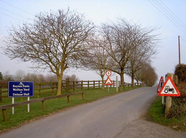
Image: © Neil Owen Taken: 2 Mar 2012
There are a number of different sites that are part of HorseWorld, many of which are not open to the public. This is the small road (Staunton Lane) beside the main entrance that leads to more acres of equine heaven. See Image] for the visitor centre entrance.
Images are licensed for reuse under creativecommons.org/licenses/by-sa/2.0
Image Location
Latitude
51.405322
Longitude
-2.550425