The Edale valley road through Nether Booth
Introduction
The photograph on this page of The Edale valley road through Nether Booth by Andrew Hill as part of the Geograph project.
The Geograph project started in 2005 with the aim of publishing, organising and preserving representative images for every square kilometre of Great Britain, Ireland and the Isle of Man.

There are currently over 7.5m images from over 14,400 individuals and you can help contribute to the project by visiting https://www.geograph.org.uk
The Edale valley road through Nether Booth
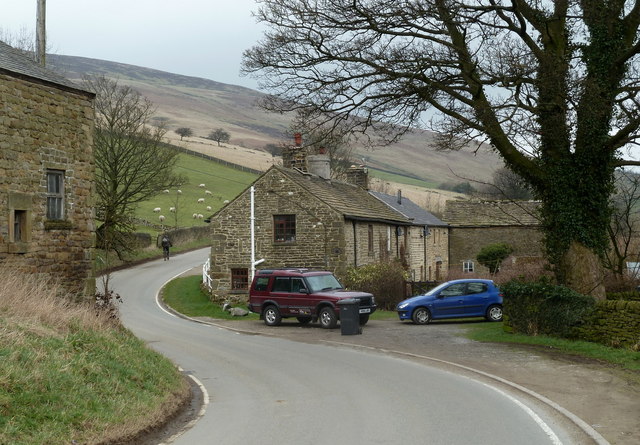
Image: © Andrew Hill Taken: 29 Feb 2012
Nether Booth is one of several hamlets and small villages scattered along the floor and lower sides of the valley.
Images are licensed for reuse under creativecommons.org/licenses/by-sa/2.0
Image Location
Latitude
53.372112
Longitude
-1.787137