Confluence of the River Gipping and former navigation channel
Introduction
The photograph on this page of Confluence of the River Gipping and former navigation channel by N Chadwick as part of the Geograph project.
The Geograph project started in 2005 with the aim of publishing, organising and preserving representative images for every square kilometre of Great Britain, Ireland and the Isle of Man.

There are currently over 7.5m images from over 14,400 individuals and you can help contribute to the project by visiting https://www.geograph.org.uk
Confluence of the River Gipping and former navigation channel
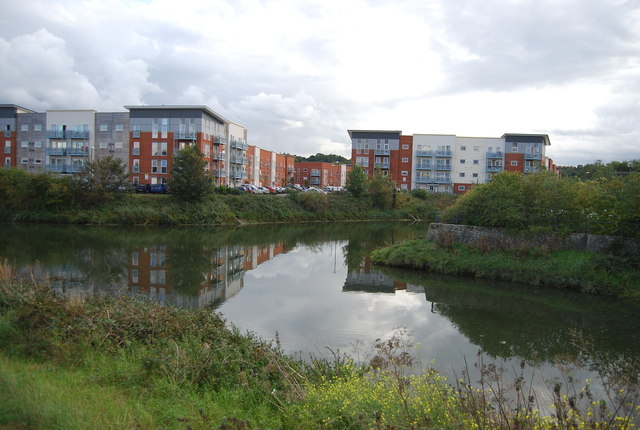
Image: © N Chadwick Taken: 18 Sep 2011
Nearest the camera is the former Ipswich and Stowmarket Navigation channel, here re-entering the main river.
Images are licensed for reuse under creativecommons.org/licenses/by-sa/2.0
Image Location
Latitude
52.054431
Longitude
1.138714