2012 : East End Lane heading east
Introduction
The photograph on this page of 2012 : East End Lane heading east by Maurice Pullin as part of the Geograph project.
The Geograph project started in 2005 with the aim of publishing, organising and preserving representative images for every square kilometre of Great Britain, Ireland and the Isle of Man.

There are currently over 7.5m images from over 14,400 individuals and you can help contribute to the project by visiting https://www.geograph.org.uk
2012 : East End Lane heading east
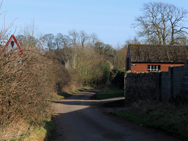
Image: © Maurice Pullin Taken: 26 Feb 2012
East End Lane splits into two at East End, one arm heads north, this arm heads east past a wooden shed or barn.
Images are licensed for reuse under creativecommons.org/licenses/by-sa/2.0
Image Location
Latitude
51.260577
Longitude
-2.582802