Dunsgreen Lane
Introduction
The photograph on this page of Dunsgreen Lane by Derek Harper as part of the Geograph project.
The Geograph project started in 2005 with the aim of publishing, organising and preserving representative images for every square kilometre of Great Britain, Ireland and the Isle of Man.

There are currently over 7.5m images from over 14,400 individuals and you can help contribute to the project by visiting https://www.geograph.org.uk
Dunsgreen Lane
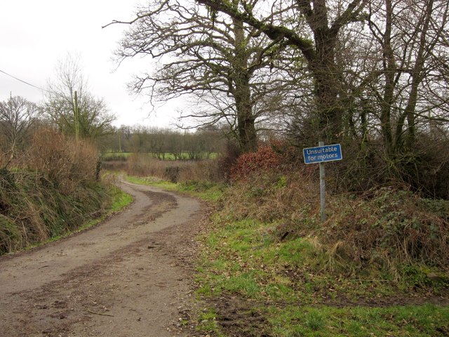
Image: © Derek Harper Taken: 25 Feb 2012
One of a number of lanes in the upper Culm valley which the 1:25000 map suggests are through roads for the motor car, but turn out not to be.
Images are licensed for reuse under creativecommons.org/licenses/by-sa/2.0
Image Location
Latitude
50.917262
Longitude
-3.204439