Whympston
Introduction
The photograph on this page of Whympston by Derek Harper as part of the Geograph project.
The Geograph project started in 2005 with the aim of publishing, organising and preserving representative images for every square kilometre of Great Britain, Ireland and the Isle of Man.

There are currently over 7.5m images from over 14,400 individuals and you can help contribute to the project by visiting https://www.geograph.org.uk
Whympston
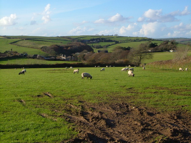
Image: © Derek Harper Taken: 18 Nov 2006
The sizeable farm and associated cottages lie in a shallow valley. Whympston has a long history, though none of the present buildings appear to be very old. The further farm is Little Modbury. Taken from close to Whympston Cross across a grid line.
Images are licensed for reuse under creativecommons.org/licenses/by-sa/2.0
Image Location


Leaflet Map data © OpenStreetMap
Latitude
50.33568
Longitude
-3.875827