Shelter belt, Toyd Farm
Introduction
The photograph on this page of Shelter belt, Toyd Farm by Maigheach-gheal as part of the Geograph project.
The Geograph project started in 2005 with the aim of publishing, organising and preserving representative images for every square kilometre of Great Britain, Ireland and the Isle of Man.

There are currently over 7.5m images from over 14,400 individuals and you can help contribute to the project by visiting https://www.geograph.org.uk
Shelter belt, Toyd Farm
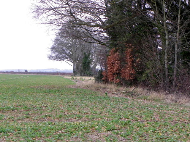
Image: © Maigheach-gheal Taken: 28 Feb 2012
There is a small area of mixed woodland beside the farm which acts a shelter belt.
Images are licensed for reuse under creativecommons.org/licenses/by-sa/2.0
Image Location
Latitude
50.986086
Longitude
-1.874865