Charlock near Toyd Farm
Introduction
The photograph on this page of Charlock near Toyd Farm by Maigheach-gheal as part of the Geograph project.
The Geograph project started in 2005 with the aim of publishing, organising and preserving representative images for every square kilometre of Great Britain, Ireland and the Isle of Man.

There are currently over 7.5m images from over 14,400 individuals and you can help contribute to the project by visiting https://www.geograph.org.uk
Charlock near Toyd Farm
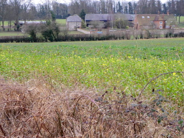
Image: © Maigheach-gheal Taken: 28 Feb 2012
Charlock grows along field margins, roadsides and on wasteland all over lowland Britain. It is a choking weed which has been in the past a serious menace to arable land, although charlock today, is becoming rarer as a result of the use of weed-killers. The pods hold two rows of dark red-brown seeds and these seeds can persist in the soil for up to fifty years and burst forth when old pastures are ploughed. Charlock was once sold as a vegetable in Ireland.
Images are licensed for reuse under creativecommons.org/licenses/by-sa/2.0
Image Location
Latitude
50.988784
Longitude
-1.875