The Trans Pennine Trail and the Cuckoo Way
Introduction
The photograph on this page of The Trans Pennine Trail and the Cuckoo Way by Graham Hogg as part of the Geograph project.
The Geograph project started in 2005 with the aim of publishing, organising and preserving representative images for every square kilometre of Great Britain, Ireland and the Isle of Man.

There are currently over 7.5m images from over 14,400 individuals and you can help contribute to the project by visiting https://www.geograph.org.uk
The Trans Pennine Trail and the Cuckoo Way
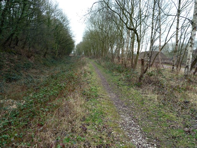
Image: © Graham Hogg Taken: 28 Feb 2012
These long distance trails run side-by-side here: the TPT (to the right of the trees) on a former railway alignment and the Cuckoo Way on the line of the towpath of an abandoned section of the Chesterfield Canal.
Images are licensed for reuse under creativecommons.org/licenses/by-sa/2.0
Image Location
Latitude
53.296024
Longitude
-1.335314