Fields next to Long Lartin Prison
Introduction
The photograph on this page of Fields next to Long Lartin Prison by Nigel Mykura as part of the Geograph project.
The Geograph project started in 2005 with the aim of publishing, organising and preserving representative images for every square kilometre of Great Britain, Ireland and the Isle of Man.

There are currently over 7.5m images from over 14,400 individuals and you can help contribute to the project by visiting https://www.geograph.org.uk
Fields next to Long Lartin Prison
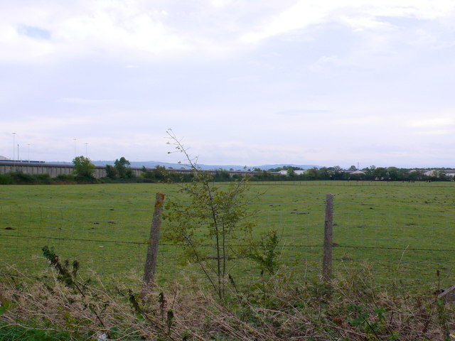
Image: © Nigel Mykura Taken: 9 Oct 2011
Much of the area south of the road from Honeybourne to South Littleton is taken up by the prison and associated residential buildings. The prison walls can be seen on the left and the houses and living accommodation on the right.
Images are licensed for reuse under creativecommons.org/licenses/by-sa/2.0
Image Location


Leaflet Map data © OpenStreetMap
Latitude
52.108194
Longitude
-1.858321