The east side of the Torridge
Introduction
The photograph on this page of The east side of the Torridge by Philip Halling as part of the Geograph project.
The Geograph project started in 2005 with the aim of publishing, organising and preserving representative images for every square kilometre of Great Britain, Ireland and the Isle of Man.

There are currently over 7.5m images from over 14,400 individuals and you can help contribute to the project by visiting https://www.geograph.org.uk
The east side of the Torridge
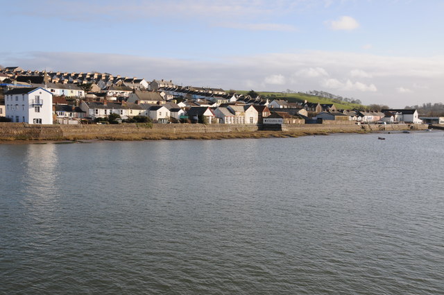
Image: © Philip Halling Taken: 18 Feb 2012
The east side of the River Torridge as it flows through Bideford, viewed here from Bideford Long Bridge.
Images are licensed for reuse under creativecommons.org/licenses/by-sa/2.0
Image Location


Leaflet Map data © OpenStreetMap
Latitude
51.014581
Longitude
-4.202211