The Shore Road, Greenisland (2)
Introduction
The photograph on this page of The Shore Road, Greenisland (2) by Albert Bridge as part of the Geograph project.
The Geograph project started in 2005 with the aim of publishing, organising and preserving representative images for every square kilometre of Great Britain, Ireland and the Isle of Man.

There are currently over 7.5m images from over 14,400 individuals and you can help contribute to the project by visiting https://www.geograph.org.uk
The Shore Road, Greenisland (2)
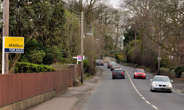
Image: © Albert Bridge Taken: 28 Feb 2012
The Shore Road, looking towards Carrickfergus, from beyond Shorelands. The “for sale” signs seem a bit out of place given that vesting is part of the land acquisition process. For comparison, after the dualling, see Image
Images are licensed for reuse under creativecommons.org/licenses/by-sa/2.0
Image Location
Latitude
54.690461
Longitude
-5.865929