Chimney Lane?
Introduction
The photograph on this page of Chimney Lane? by terry joyce as part of the Geograph project.
The Geograph project started in 2005 with the aim of publishing, organising and preserving representative images for every square kilometre of Great Britain, Ireland and the Isle of Man.

There are currently over 7.5m images from over 14,400 individuals and you can help contribute to the project by visiting https://www.geograph.org.uk
Chimney Lane?
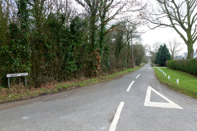
Image: © terry joyce Taken: 28 Feb 2012
The sign reads Chimney Lane but some maps read Chimney Pot Lane. Cock Clarks, Essex. One of the old maps show Hazeleigh Brick & Tile Works near this junction with Goat House Lane. It disappeared between 1898 and 1922.
Images are licensed for reuse under creativecommons.org/licenses/by-sa/2.0
Image Location
Latitude
51.699904
Longitude
0.62489