Flooding on the banks of the Dee
Introduction
The photograph on this page of Flooding on the banks of the Dee by Richard Slessor as part of the Geograph project.
The Geograph project started in 2005 with the aim of publishing, organising and preserving representative images for every square kilometre of Great Britain, Ireland and the Isle of Man.

There are currently over 7.5m images from over 14,400 individuals and you can help contribute to the project by visiting https://www.geograph.org.uk
Flooding on the banks of the Dee
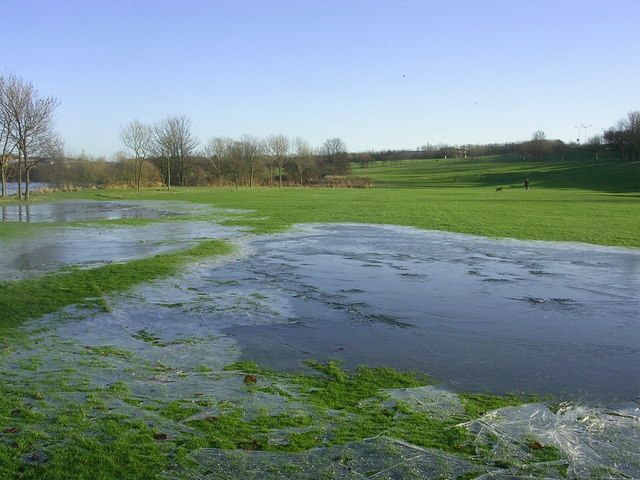
Image: © Richard Slessor Taken: 13 Jan 2005
The River Dee overflowed its banks following several days of stormy weather.
Images are licensed for reuse under creativecommons.org/licenses/by-sa/2.0
Image Location


Leaflet Map data © OpenStreetMap
Latitude
57.126879
Longitude
-2.107345