Hedge Row, Berristall Dale
Introduction
The photograph on this page of Hedge Row, Berristall Dale by Peter Turner as part of the Geograph project.
The Geograph project started in 2005 with the aim of publishing, organising and preserving representative images for every square kilometre of Great Britain, Ireland and the Isle of Man.

There are currently over 7.5m images from over 14,400 individuals and you can help contribute to the project by visiting https://www.geograph.org.uk
Hedge Row, Berristall Dale
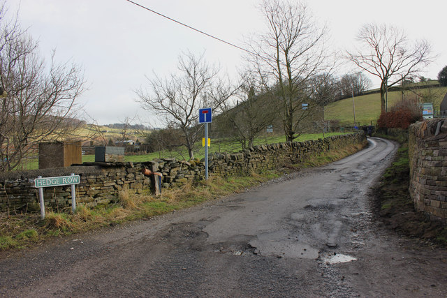
Image: © Peter Turner Taken: 23 Feb 2012
Single lane with passing places (infrequent) in reality an extended entrance drive to the farmsteads and dwellings up the dale.
Images are licensed for reuse under creativecommons.org/licenses/by-sa/2.0
Image Location
Latitude
53.300183
Longitude
-2.083236