The Shore Road, Jordanstown/Greenisland (15)
Introduction
The photograph on this page of The Shore Road, Jordanstown/Greenisland (15) by Albert Bridge as part of the Geograph project.
The Geograph project started in 2005 with the aim of publishing, organising and preserving representative images for every square kilometre of Great Britain, Ireland and the Isle of Man.

There are currently over 7.5m images from over 14,400 individuals and you can help contribute to the project by visiting https://www.geograph.org.uk
The Shore Road, Jordanstown/Greenisland (15)
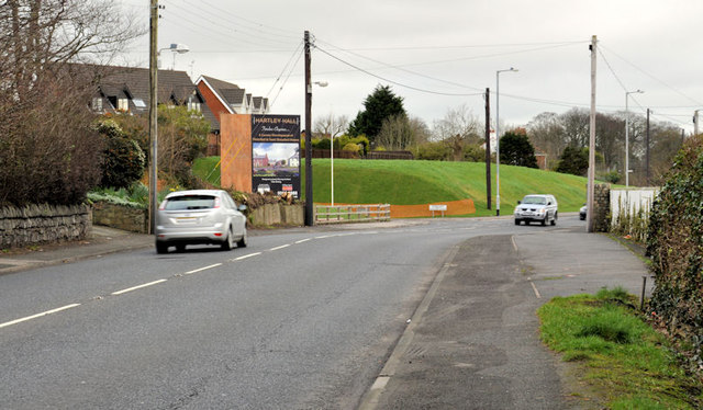
Image: © Albert Bridge Taken: 28 Feb 2012
The Shore Road, looking towards Carrickfergus, from opposite Castle Lug Image The entrance to Shorelands is at the green hump of reserved line (middle background).
Images are licensed for reuse under creativecommons.org/licenses/by-sa/2.0
Image Location
Latitude
54.68872
Longitude
-5.869122