Grazing land rising towards Westcroft
Introduction
The photograph on this page of Grazing land rising towards Westcroft by John M as part of the Geograph project.
The Geograph project started in 2005 with the aim of publishing, organising and preserving representative images for every square kilometre of Great Britain, Ireland and the Isle of Man.

There are currently over 7.5m images from over 14,400 individuals and you can help contribute to the project by visiting https://www.geograph.org.uk
Grazing land rising towards Westcroft
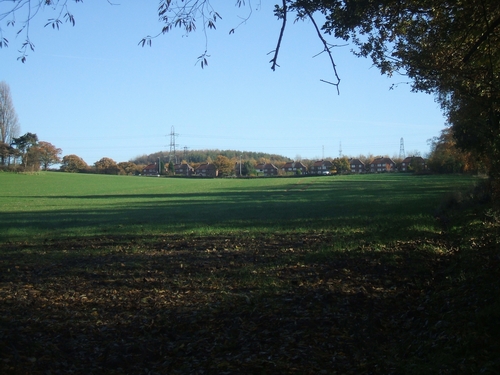
Image: © John M Taken: 19 Nov 2006
The rising ground up to the ribbon development on the A460 continues onwards in the direction of Essington.
Images are licensed for reuse under creativecommons.org/licenses/by-sa/2.0
Image Location
Latitude
52.629217
Longitude
-2.095989