Pond, Greenside
Introduction
The photograph on this page of Pond, Greenside by Andrew Curtis as part of the Geograph project.
The Geograph project started in 2005 with the aim of publishing, organising and preserving representative images for every square kilometre of Great Britain, Ireland and the Isle of Man.

There are currently over 7.5m images from over 14,400 individuals and you can help contribute to the project by visiting https://www.geograph.org.uk
Pond, Greenside
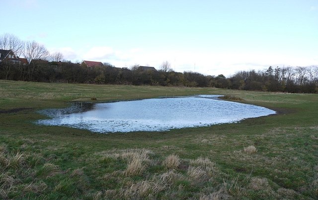
Image: © Andrew Curtis Taken: 24 Feb 2012
The trees before the houses mark the line of a disused mineral railway which ran parallel to the Lead Road. The railway ran from Greenside Colliery to Stargate Pit and Addison Colliery on the Newcastle and Carlisle line. Part of its line is now used as a footpath.
Images are licensed for reuse under creativecommons.org/licenses/by-sa/2.0
Image Location
Latitude
54.954226
Longitude
-1.769656