The Road to North Stoke
Introduction
The photograph on this page of The Road to North Stoke by Des Blenkinsopp as part of the Geograph project.
The Geograph project started in 2005 with the aim of publishing, organising and preserving representative images for every square kilometre of Great Britain, Ireland and the Isle of Man.

There are currently over 7.5m images from over 14,400 individuals and you can help contribute to the project by visiting https://www.geograph.org.uk
The Road to North Stoke
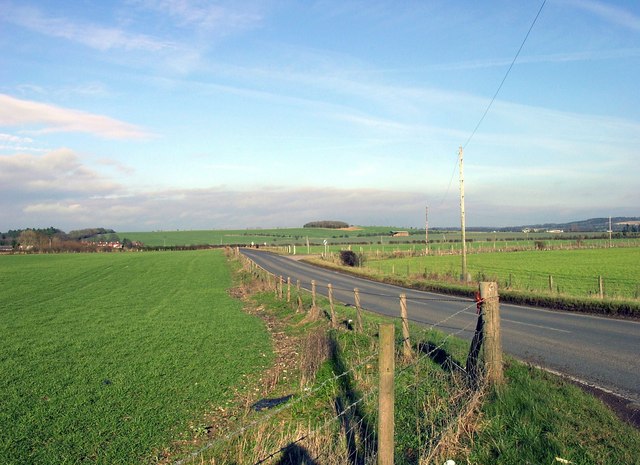
Image: © Des Blenkinsopp Taken: 26 Jun 2008
The map marks a Tumulus just here by the road junction but there's nothing to see of it. A typical view of this area of wide open fields between the Thames and the Chilterns proper, just visible on the right.
Images are licensed for reuse under creativecommons.org/licenses/by-sa/2.0
Image Location
Latitude
51.56419
Longitude
-1.121807