2012 : Field in the Chew Valley south of Litton
Introduction
The photograph on this page of 2012 : Field in the Chew Valley south of Litton by Maurice Pullin as part of the Geograph project.
The Geograph project started in 2005 with the aim of publishing, organising and preserving representative images for every square kilometre of Great Britain, Ireland and the Isle of Man.

There are currently over 7.5m images from over 14,400 individuals and you can help contribute to the project by visiting https://www.geograph.org.uk
2012 : Field in the Chew Valley south of Litton
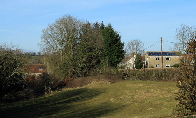
Image: © Maurice Pullin Taken: 26 Feb 2012
The B3114 is to the right on the other side of the hedge, the River Chew is at the valley bottom to the left. Litton was once a mining village, now solar panels are a source of energy.
Images are licensed for reuse under creativecommons.org/licenses/by-sa/2.0
Image Location
Latitude
51.286299
Longitude
-2.581837