Road to Priest Hill Farm
Introduction
The photograph on this page of Road to Priest Hill Farm by Alan Hunt as part of the Geograph project.
The Geograph project started in 2005 with the aim of publishing, organising and preserving representative images for every square kilometre of Great Britain, Ireland and the Isle of Man.

There are currently over 7.5m images from over 14,400 individuals and you can help contribute to the project by visiting https://www.geograph.org.uk
Road to Priest Hill Farm
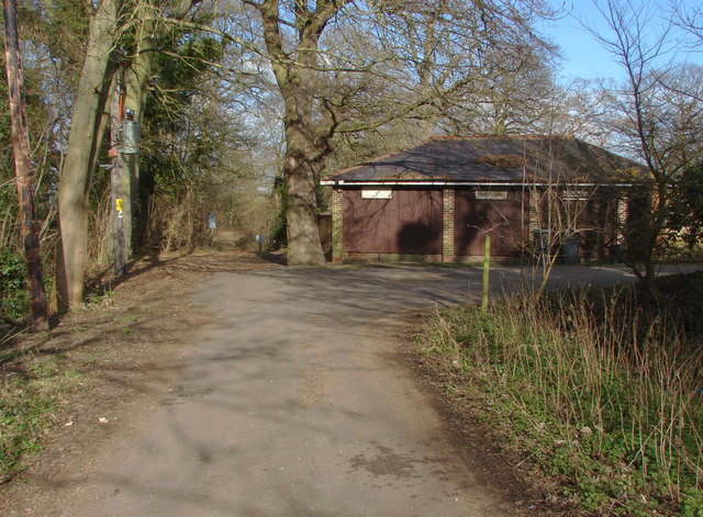
Image: © Alan Hunt Taken: 26 Feb 2012
The road that leads from Priest Hill to the farm with the entrance to the National Trust property of Coopers Hill Slopes and the Kennedy Memorial to the left of the building.
Images are licensed for reuse under creativecommons.org/licenses/by-sa/2.0
Image Location
Latitude
51.443758
Longitude
-0.570282