Ferry Lane, Hythe End
Introduction
The photograph on this page of Ferry Lane, Hythe End by Stefan Czapski as part of the Geograph project.
The Geograph project started in 2005 with the aim of publishing, organising and preserving representative images for every square kilometre of Great Britain, Ireland and the Isle of Man.

There are currently over 7.5m images from over 14,400 individuals and you can help contribute to the project by visiting https://www.geograph.org.uk
Ferry Lane, Hythe End
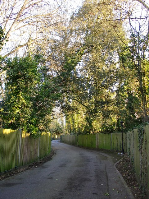
Image: © Stefan Czapski Taken: 19 Feb 2012
There is a rather uncomfortable mixture of land-uses hereabouts - Ferry Lane gives access to recent gated residential developments, but runs past what seem to be run-down industrial sites.
Images are licensed for reuse under creativecommons.org/licenses/by-sa/2.0
Image Location
Latitude
51.441454
Longitude
-0.53654