Estate/farm road with elongated bank of mine spoil
Introduction
The photograph on this page of Estate/farm road with elongated bank of mine spoil by Trevor Littlewood as part of the Geograph project.
The Geograph project started in 2005 with the aim of publishing, organising and preserving representative images for every square kilometre of Great Britain, Ireland and the Isle of Man.

There are currently over 7.5m images from over 14,400 individuals and you can help contribute to the project by visiting https://www.geograph.org.uk
Estate/farm road with elongated bank of mine spoil
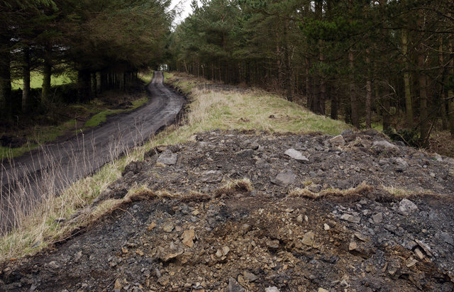
Image: © Trevor Littlewood Taken: 26 Feb 2012
The road runs at the edge of woodland lining the north side of the trough Arn Gill. The elongated mound is probably just mine spoil - there was small scale coal mining in the area. Recently the bank has been cut through in a number of places, including immediately in front of the camera position. That apparently is an attempt by the estate to allow water to drain more readily from the road.
Images are licensed for reuse under creativecommons.org/licenses/by-sa/2.0
Image Location
Latitude
54.614529
Longitude
-1.893282