Parish Church of St Leonard, Walton-le-Dale
Introduction
The photograph on this page of Parish Church of St Leonard, Walton-le-Dale by David Dixon as part of the Geograph project.
The Geograph project started in 2005 with the aim of publishing, organising and preserving representative images for every square kilometre of Great Britain, Ireland and the Isle of Man.

There are currently over 7.5m images from over 14,400 individuals and you can help contribute to the project by visiting https://www.geograph.org.uk
Parish Church of St Leonard, Walton-le-Dale
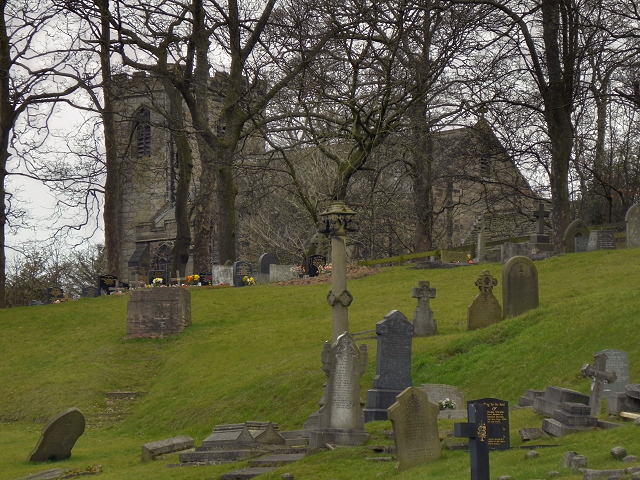
Image: © David Dixon Taken: 25 Feb 2012
St Leonard's is a Grade II* listed building. Parts of the church, including its tower, date from the sixteenth century with 19th century additions and 20th century restorations. This photograph is taken from the graveyard of Image http://en.wikipedia.org/wiki/St_Leonard's_Church,_Walton-le-Dale - Wikipedia article about St Leonard's Church.
Images are licensed for reuse under creativecommons.org/licenses/by-sa/2.0
Image Location


Leaflet Map data © OpenStreetMap
Latitude
53.747505
Longitude
-2.66671