Footpath from Riddlecombe
Introduction
The photograph on this page of Footpath from Riddlecombe by Derek Harper as part of the Geograph project.
The Geograph project started in 2005 with the aim of publishing, organising and preserving representative images for every square kilometre of Great Britain, Ireland and the Isle of Man.

There are currently over 7.5m images from over 14,400 individuals and you can help contribute to the project by visiting https://www.geograph.org.uk
Footpath from Riddlecombe
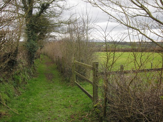
Image: © Derek Harper Taken: 20 Feb 2012
Ashreigney Footpath 23 runs south from the hamlet between field boundaries towards the Mully Brook valley.
Images are licensed for reuse under creativecommons.org/licenses/by-sa/2.0
Image Location
Latitude
50.907907
Longitude
-3.97669