Sheep pasture, Westacott
Introduction
The photograph on this page of Sheep pasture, Westacott by Derek Harper as part of the Geograph project.
The Geograph project started in 2005 with the aim of publishing, organising and preserving representative images for every square kilometre of Great Britain, Ireland and the Isle of Man.

There are currently over 7.5m images from over 14,400 individuals and you can help contribute to the project by visiting https://www.geograph.org.uk
Sheep pasture, Westacott
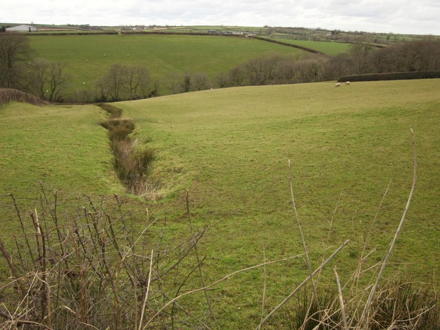
Image: © Derek Harper Taken: 20 Feb 2012
A rushy gully runs down this field, which is also shown in Image; the farm buildings near Northcott Barton (left) and West Arson (centre), both in adjoining squares, appear in both images. In between is the valley shown in Image
Images are licensed for reuse under creativecommons.org/licenses/by-sa/2.0
Image Location
Latitude
50.910242
Longitude
-3.992721