Crossroads near Chartham
Introduction
The photograph on this page of Crossroads near Chartham by Julian P Guffogg as part of the Geograph project.
The Geograph project started in 2005 with the aim of publishing, organising and preserving representative images for every square kilometre of Great Britain, Ireland and the Isle of Man.

There are currently over 7.5m images from over 14,400 individuals and you can help contribute to the project by visiting https://www.geograph.org.uk
Crossroads near Chartham
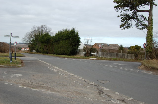
Image: © Julian P Guffogg Taken: 25 Feb 2012
Junction of Mystole Lane, The Downs and Cockering Road
Images are licensed for reuse under creativecommons.org/licenses/by-sa/2.0
Image Location
Latitude
51.248254
Longitude
1.019699