Platt Bridge War Memorial
Introduction
The photograph on this page of Platt Bridge War Memorial by David Dixon as part of the Geograph project.
The Geograph project started in 2005 with the aim of publishing, organising and preserving representative images for every square kilometre of Great Britain, Ireland and the Isle of Man.

There are currently over 7.5m images from over 14,400 individuals and you can help contribute to the project by visiting https://www.geograph.org.uk
Platt Bridge War Memorial
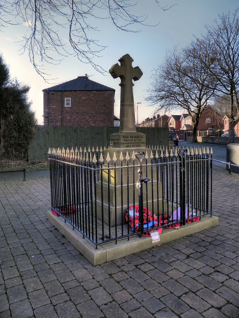
Image: © David Dixon Taken: 23 Feb 2012
The war memorial at the junction of Neville Street and Davies Street was erected in 1920. It's a rather sad reflection on modern attitudes that there is a need to protect it with metal railings which make it hard to see unless you go right up to it.
Images are licensed for reuse under creativecommons.org/licenses/by-sa/2.0
Image Location
Latitude
53.522533
Longitude
-2.597407