Footpath, Cheney Manor Industrial Estate
Introduction
The photograph on this page of Footpath, Cheney Manor Industrial Estate by Vieve Forward as part of the Geograph project.
The Geograph project started in 2005 with the aim of publishing, organising and preserving representative images for every square kilometre of Great Britain, Ireland and the Isle of Man.

There are currently over 7.5m images from over 14,400 individuals and you can help contribute to the project by visiting https://www.geograph.org.uk
Footpath, Cheney Manor Industrial Estate
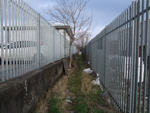
Image: © Vieve Forward Taken: 23 Feb 2012
This footpath offers a rather unsavoury but very useful shortcut between the sports ground east of Hreod Parkway School and Cheney Manor Industrial Estate.
Images are licensed for reuse under creativecommons.org/licenses/by-sa/2.0
Image Location
Latitude
51.57568
Longitude
-1.808753