Shropshire Union Canal north-east of Church Minshull, Cheshire
Introduction
The photograph on this page of Shropshire Union Canal north-east of Church Minshull, Cheshire by Roger D Kidd as part of the Geograph project.
The Geograph project started in 2005 with the aim of publishing, organising and preserving representative images for every square kilometre of Great Britain, Ireland and the Isle of Man.

There are currently over 7.5m images from over 14,400 individuals and you can help contribute to the project by visiting https://www.geograph.org.uk
Shropshire Union Canal north-east of Church Minshull, Cheshire
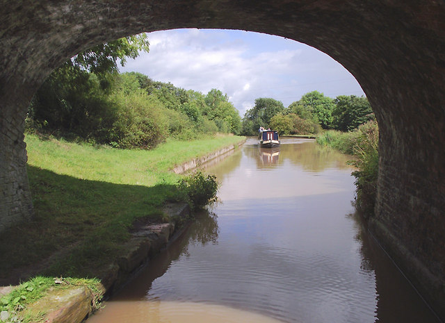
Image: © Roger D Kidd Taken: 27 Aug 2011
Seen from beneath the arch of Hollingshead Bridge, No 16, and looking towards Middlewich. The Middlewich Branch, with four locks, was opened from Barbridge to Middlewich in 1833, linking the Chester Canal with the Trent and Mersey.
Images are licensed for reuse under creativecommons.org/licenses/by-sa/2.0
Image Location
Latitude
53.149068
Longitude
-2.484359