Path / track junction above the trees
Introduction
The photograph on this page of Path / track junction above the trees by Liz Stone as part of the Geograph project.
The Geograph project started in 2005 with the aim of publishing, organising and preserving representative images for every square kilometre of Great Britain, Ireland and the Isle of Man.

There are currently over 7.5m images from over 14,400 individuals and you can help contribute to the project by visiting https://www.geograph.org.uk
Path / track junction above the trees
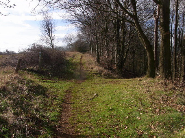
Image: © Liz Stone Taken: 23 Feb 2012
Centenary Way bridleway goes down to the right and ahead is the permissive footpath for the Macmillan Way.
Images are licensed for reuse under creativecommons.org/licenses/by-sa/2.0
Image Location
Latitude
52.102374
Longitude
-1.481235