A3072 at Hatherleigh
Introduction
The photograph on this page of A3072 at Hatherleigh by Derek Harper as part of the Geograph project.
The Geograph project started in 2005 with the aim of publishing, organising and preserving representative images for every square kilometre of Great Britain, Ireland and the Isle of Man.

There are currently over 7.5m images from over 14,400 individuals and you can help contribute to the project by visiting https://www.geograph.org.uk
A3072 at Hatherleigh
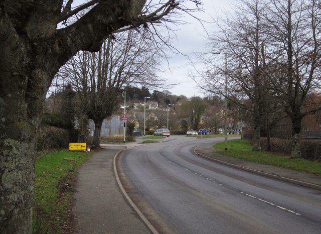
Image: © Derek Harper Taken: 20 Feb 2012
The main road approaches the roundabout on the outskirts of Hatherleigh. Image is on the left here.
Images are licensed for reuse under creativecommons.org/licenses/by-sa/2.0
Image Location
Latitude
50.818165
Longitude
-4.074265