Green Energy Footpath.
Introduction
The photograph on this page of Green Energy Footpath. by terry joyce as part of the Geograph project.
The Geograph project started in 2005 with the aim of publishing, organising and preserving representative images for every square kilometre of Great Britain, Ireland and the Isle of Man.

There are currently over 7.5m images from over 14,400 individuals and you can help contribute to the project by visiting https://www.geograph.org.uk
Green Energy Footpath.
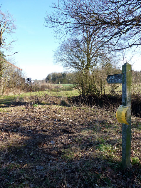
Image: © terry joyce Taken: 23 Feb 2012
The yellow sign attached to the footpath fingerpost is a planning notification for Slough House Farm who want to put 144 photovoltaic panels on their farm buildings. This footpath which starts in Great Prestons Lane joins St Peter's Way further North East in the grid.
Images are licensed for reuse under creativecommons.org/licenses/by-sa/2.0
Image Location
Latitude
51.658287
Longitude
0.474852