Lych Gate and Church, Monkokehampton
Introduction
The photograph on this page of Lych Gate and Church, Monkokehampton by Derek Harper as part of the Geograph project.
The Geograph project started in 2005 with the aim of publishing, organising and preserving representative images for every square kilometre of Great Britain, Ireland and the Isle of Man.

There are currently over 7.5m images from over 14,400 individuals and you can help contribute to the project by visiting https://www.geograph.org.uk
Lych Gate and Church, Monkokehampton
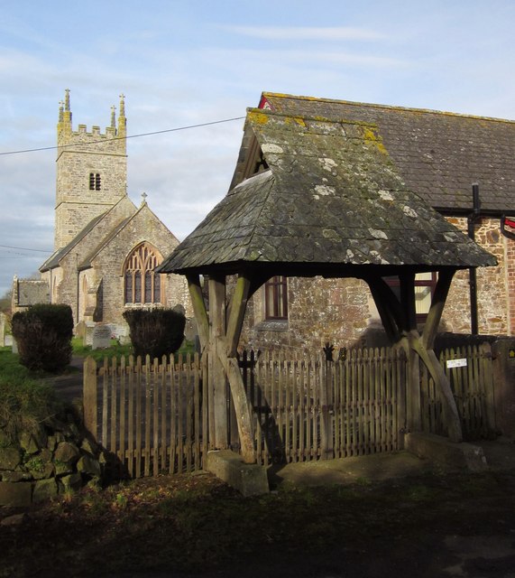
Image: © Derek Harper Taken: 20 Feb 2012
The C19 lych gate is described at http://www.britishlistedbuildings.co.uk/en-93316-lych-gate-approximately-35-metres-to-sout . Monkokehampton Footpath 2 passes through it and across the churchyard. See also Image
Images are licensed for reuse under creativecommons.org/licenses/by-sa/2.0
Image Location
Latitude
50.831602
Longitude
-4.015783