St Peter's Way
Introduction
The photograph on this page of St Peter's Way by terry joyce as part of the Geograph project.
The Geograph project started in 2005 with the aim of publishing, organising and preserving representative images for every square kilometre of Great Britain, Ireland and the Isle of Man.

There are currently over 7.5m images from over 14,400 individuals and you can help contribute to the project by visiting https://www.geograph.org.uk
St Peter's Way
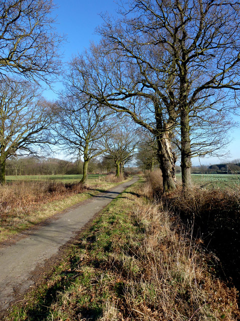
Image: © terry joyce Taken: 23 Feb 2012
A walk from Chipping Ongar to the 7th century St Peter's Chapel at Bradwell. This section of St Peter's Way at Hanningfield is called Seamans Lane.
Images are licensed for reuse under creativecommons.org/licenses/by-sa/2.0
Image Location
Latitude
51.661932
Longitude
0.472592